|
| *****SWAAG_ID***** | 493 |
| Date Entered | 10/04/2012 |
| Updated on | 11/04/2012 |
| Recorded by | Tim Laurie |
| Category | Tree Site Record |
| Record Type | Botanical HER |
| Site Access | Public Access Land |
| Record Date | 11/03/2012 |
| Location | Gunnerside Gill. small scar on east bank 100m upstream of Blind Gill. |
| Civil Parish | Melbecks |
| Brit. National Grid | NY 93752 01862 |
| Altitude | 427M |
| Geology | Small cliff formed from the Main Limestone. |
| Record Name | Gunnerside Gill. Junipers on small east bank cliff above Blind Gill |
| Record Description | Low cliff with two junipers. Hazel the only other tree. |
| Dimensions | See photos |
| Geographical area | Swaledale North Bank Catchment |
| Species | Juniper. |
| Common / Notable Species | Hazel. |
| Additional Notes | Junipers, isolated and in very small numbers (<5 bushes), are present on most of the limestone cliffs in Gunnerside Gill upstream of Botcher Gill. |
| Image 1 ID | 2599 Click image to enlarge |
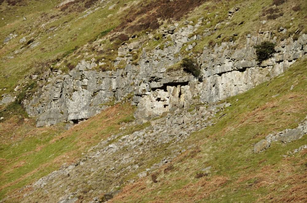
| Image 1 Description | The approach to Blind Gill | 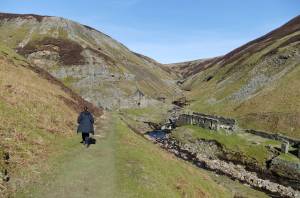 |
| Image 2 ID | 2600 Click image to enlarge |
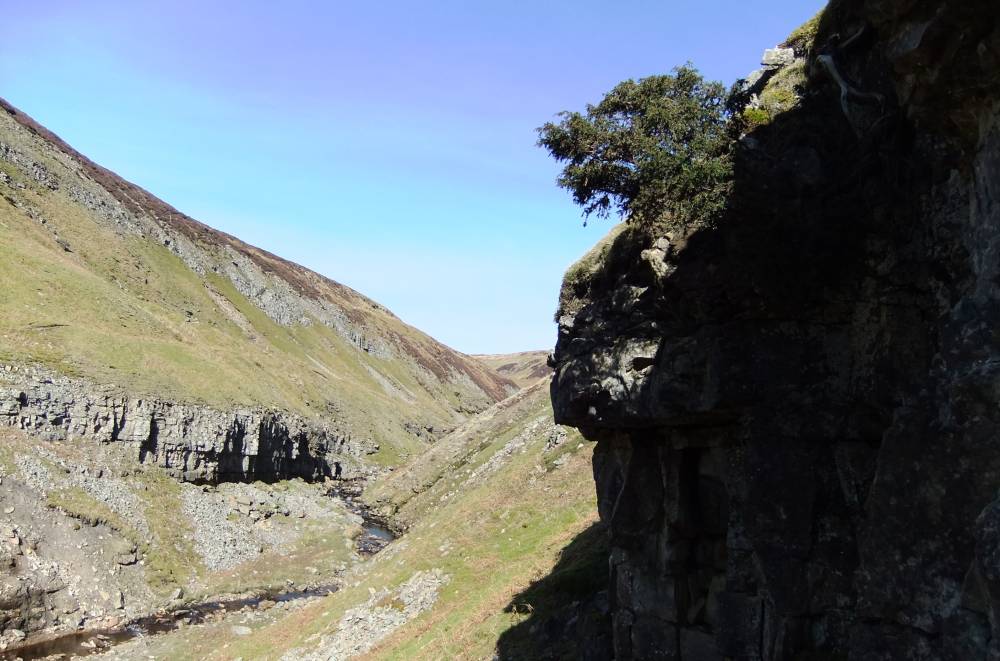
| Image 2 Description | Black shales exposed in the east bank. The two junipers grow on the dark cliff upper right. | 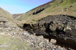 |
| Image 3 ID | 2619 Click image to enlarge |
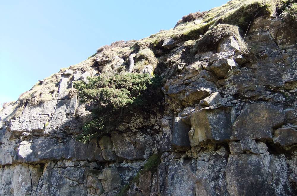
| Image 3 Description | The two junipers on the cliff. | 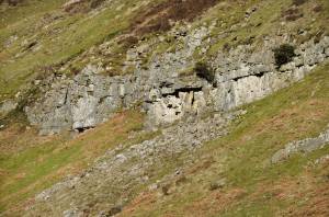 |
| Image 4 ID | 2602 Click image to enlarge |
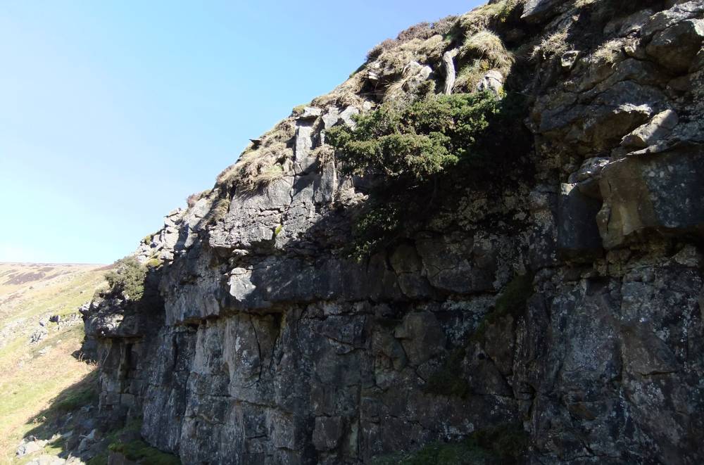
| Image 4 Description | Juniper No 1 on cliff. |  |
| Image 5 ID | 2603 Click image to enlarge |
| Image 5 Description | Juniper No 2 on cliff. |  |
| Image 6 ID | 2604 Click image to enlarge |
| Image 6 Description | Juniper No 2 on cliff. | 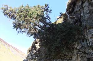 |
| Image 7 ID | 2601 Click image to enlarge |
| Image 7 Description | Juniper No 1 |  |